North Country explorer from Edwards NY
In keeping with the social distancing guidelines, I have been seeking out some lesser-known/used trails as well as staying local. This trail I found by looking over the DEC’s website. This hike was to Gulf Stream in the Aldrich Pond Wild Forest, Pitcarian NY.
The Gulf Stream flows from Rock Lake and Dry Timber Lake in the Briggs Switch Area. Bear Lake is nearby but doesn’t appear to flow into Gulf Stream. The stream gets its name from the gulf or deep ravine that it flows through. Several miles downstream past Kalurah, it reaches the outlet of Jenny Lake, and from there on is Jenny Creek.
This un-named and un-marked trail is in Pitcairn NY. The trail is near the long-gone communities of Kalurah and Jayville, probably closer to the latter. To get to the trailhead, follow the Dobbs Road (from the Powell Road) about one mile to the end. Both sides of the road are private property until you reach the state land. The road is in pretty good condition (for a woods road) except for the last hundred-yards, which has some deep ruts.
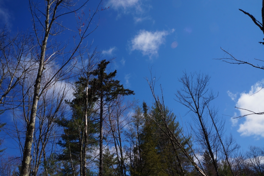
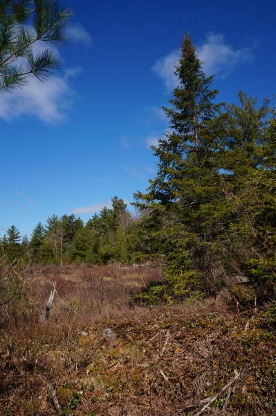
The un-marked trail heads south through a nice stand of evergreens and soon joins an old logging road. The forest turns to hardwoods reminiscent of a sugarbush. Keep your eyes open for the trail, as it is fairly obscure in places. If you are using a map (and you SHOULD be) or an electronic device, the trail follows the trail/road shown on the topo map quite closely. The trail all but disappears at about 1.25-miles, but you are only about 100-yards or so from Gulf Stream. There is an opening on some exposed bedrock with evergreens around the edges.
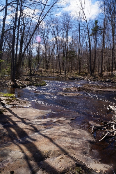
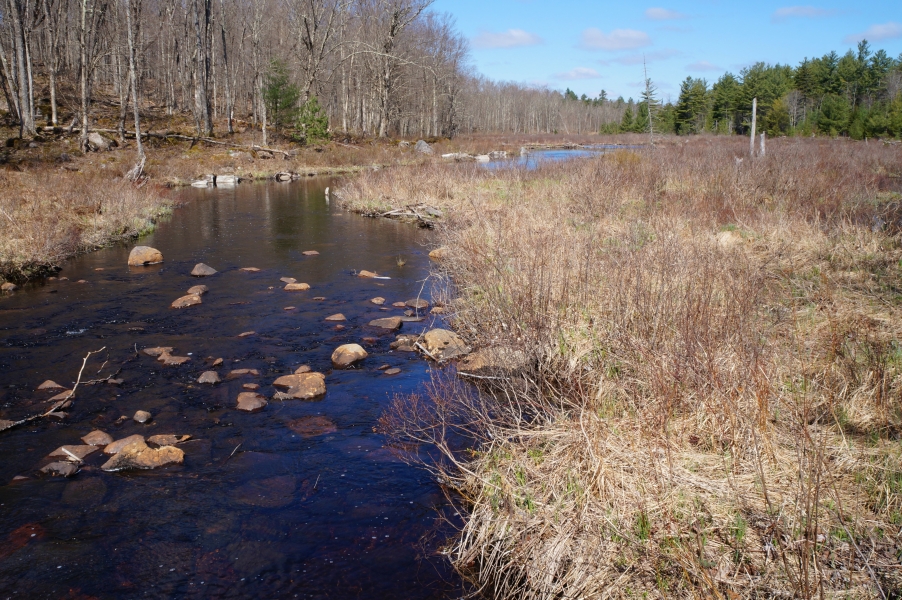
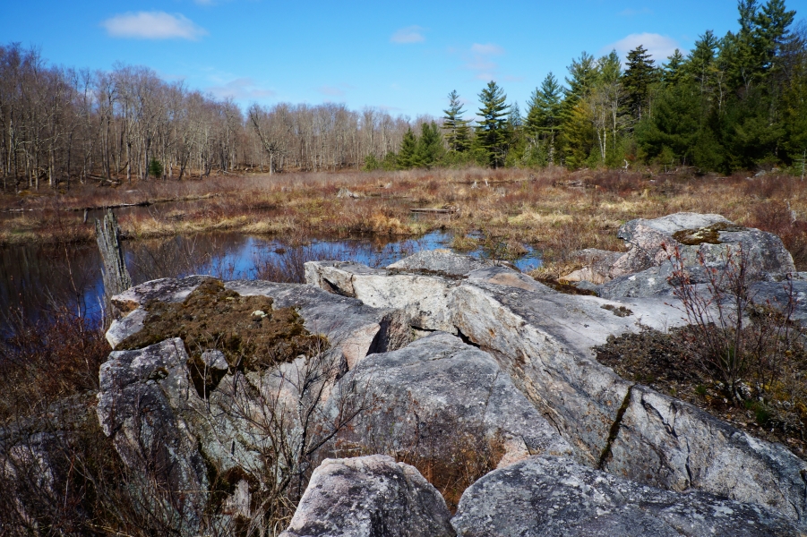
The stream gently flows NW over bedrock and then into a large beaver flow. You can find a few rock outcroppings downstream to get a better view of the flow.
With some poking around at the stream, the round trip was 2.8-miles and only 180ft of elevation gain. It is a pleasant trail and very few wet spots. It isn’t that well marked, so you should be well acquainted with map & compass work if you want to attempt it for yourself. On the plus side, I got to experience a new trek through some open hardwoods and never saw another person – perfect social distancing criteria. Hike local, and hike away from the crowds – there are plenty of trails out there that see few visitors – the perfect thing for these COVID days.
https://www.dec.ny.gov/lands/75315.html